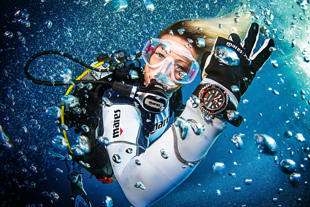
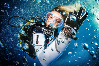
USS Chickasaw
- 49
GPS coordinates 30.0820610400592, -85.7793789287967 Chickasaw was a steel hulled tug boat built in Pensacola, Florida, in 1908. Dimensions: 107 feet long, 20 foot beam. Lies in 70 ft of water. Located three miles east of the entrance with St Andrews, near the SAB buoy, known by charter boats.
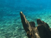
The inner structure is gone leaving only its skeleton for divrs to explore. Engine compartment can be accessed by trained divers. Can be swarmed with schools of baitfish.
14
Wildlife Species
23m / 75ft
Max. Depth
beginner
Level
This data is provided from the logbook information in the MySSI app
Dive sites nearby

Bridge Span 14
The Black Bart (Wreck)

USS Strength (Wreck)
Mac’s Reef Oil Platform
Bridge Span 12

Bridge Span 1
Saint Andrew’s State Park
Morrison Springs
Destin East Jetty
Vortex Springs
The dive spots and related content on MyDiveGuide are provided for informational and promotional purposes only. This information, including user-generated content, is not definitive advice or recommendations. Divers are fully responsible for planning their dives, ensuring adequate safety equipment, verifying diving permissions, and complying with local laws and regulations. SSI, MyDiveGuide, and affiliates assume no responsibility or liability for divers' actions, choices, or any incidents. Always dive within your training limits, prioritize safety, and confirm that diving is permitted at your chosen location.